CASSINI Challenges Winners
The CASSINI Challenges called for innovation on a number of thematic topics. The 3 targeted areas of innovation included:
Track Submission of an Idea
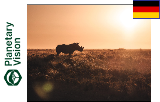
Planetary Platform
Planetary Platform is leveraging EU Space data to provide companies with regulation-conformant nature-related risk assessments. Copernicus data are used for biodiversity risk assessment and environmental monitoring to align with requirements from Taskforce on Nature-related Financial Disclosures.
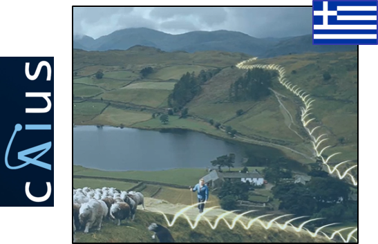
Caius Paskou
The AI app leverages EU space data to empower free-range livestock farmers and nomadic herders. Galileo data are used to track herds and dynamically calculate optimal routes for shepherds. Continuous updates on pasture conditions are sourced from Copernicus, enabling sustainable, easy and precise decision-making.
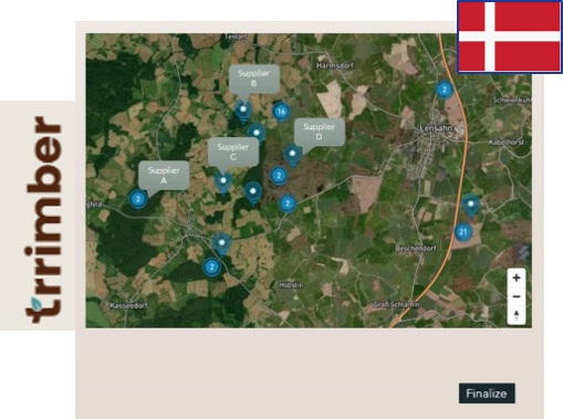
Trrimber
The B2B platform offers buyer and sellers of timber a tool for matchmaking, volume consolidation and process optimization. It makes use of Galileo in pinpointing geolocations of the specific plot of harvested wood and Copernicus land observation and climate change indicators to assess and forecast supply.
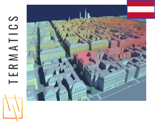
Thermopolis
Thermopolis fuses space-based (like Sentinel-3 from Copernicus) and ground-based thermal imagery, to precisely pinpoint building heat losses and identifying underperforming structures, to comply with the European Commission's Energy performance of buildings directive.
GAROTES
By fusing depth sensor data with Earth Observation imagery from Copernicus and GNSS positioning from Galileo, the solution improves resilience models of the coastline. The primary innovation of GAROTES is the drastic reduction of cost of access to near real-time bathymetric data and greatly increasing the amount of information available to the interested stakeholders.
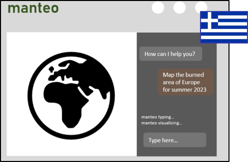
Manteo
Manteo is a chat-based geospatial platform, providing easy access to Earth Observation insights. It leverages a Large Language Model and AI to bring the power of satellite data to everyone. Manteo simplifies a large variety of complex tasks, such as damage assessment, pollution estimation, essential variable retrieval and crop classification.
Salutes Space
The solution is an on-board computer for autonomous operations in-Space and on-Earth offering smart AI-decision making for real-time operations with applications in Agriculture and drone market.
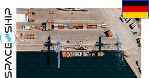
SPACE-SHIP
An innovative software solution designed to address the pressing need for accurate ship arrival predictions. By leveraging cutting-edge AI, Machine Learning algorithms, and real-time data sources from Galileo, Copernicus, the solution forecasts ship arrival times with exceptional precision, offering a 15-minute update frequency on a global scale.

qool
qool aims to develop a software system implementing quantum circuits and quantum machine learning for a range of applications for autonomous vehicles. The system will be used to design applications for collision avoidance and autonomous navigation. qool’s algorithms will take advantage of Galileo to enhance navigational accuracy and Copernicus for enriching situational awareness.

AID - Automated Interface for Deformation
AID will be using using InSAR land deformation data derived from Copernicus data and services, integrated with diverse Earth-Observation techniques and proprietary machine learning and software modules, coupled with a patented 3D visualisation tool to deliver an intuitive user experience to decision-makers.

GBAT - Ground Based Augmentation Transceiver
GBAT will develop a ground-based augmentation transceiver to improve positioning availability in areas of poor satellite visibility, thereby benefitting users that require high availability, continuity and integrity of navigation. The project will integrate existing advanced communications modules into a hybrid solution that would augment smartphone navigation as a separate pocket-sized device.

Circe-AIS
The lightweight AIS/GNSS receiver capable of resisting radio frequency interference will be suitable for small recreational and fishing boats. The receiver will leverage the security advantages of the Galileo system to offer a reliable and safe experience in maritime navigation.

STERNA
Sterna uses Copernicus, Galileo and EGNOS data to classify terrain availability where illegal borders crossing is likely to occur. This information will be used to inform border control agencies and other relevant organizations in the European Union, allowing them to allocate resources more effectively and prevent illegal border crossings.

AdaGeo
The aim of this platform is to provide an innovative and effective system contributing to a deeper understanding of climate change, but also to more accurate monitoring, enabling more efficient allocation of resources for disaster management. In situ IoT sensors geo-positioned with Galileo provide essential details on local weather conditions, topography and vegetation, enhancing the accuracy of models for detecting forest fires, floods, earthquakes and other anomalies. The solution combines with Copernicus imagery for a more holistic view of the area of interest.

Monitoring and forecasting urbanization
Using a fusion of Sentinel 2 imagery, open maps and governmental statistics, the tool should model urban developments over time and especially predict likely future developments using machine learning models trained on historical data. Features powering the model could include factors such as historical land use, proximity to local supply facilities, surrounding population and mobility options.
Cassini Prototype
Track Submission of a Prototype
Planetary Platform
Planetary Platform is leveraging EU Space data to provide companies with regulation-conformant nature-related risk assessments. Copernicus data are used for biodiversity risk assessment and environmental monitoring to align with requirements from Taskforce on Nature-related Financial Disclosures.
Caius Paskou
The AI app leverages EU space data to empower free-range livestock farmers and nomadic herders. Galileo data are used to track herds and dynamically calculate optimal routes for shepherds. Continuous updates on pasture conditions are sourced from Copernicus, enabling sustainable, easy and precise decision-making.
Trrimber
The B2B platform offers buyer and sellers of timber a tool for matchmaking, volume consolidation and process optimization. It makes use of Galileo in pinpointing geolocations of the specific plot of harvested wood and Copernicus land observation and climate change indicators to assess and forecast supply.
Thermopolis
Thermopolis fuses space-based (like Sentinel-3 from Copernicus) and ground-based thermal imagery, to precisely pinpoint building heat losses and identifying underperforming structures, to comply with the European Commission's Energy performance of buildings directive.
GAROTES
By fusing depth sensor data with Earth Observation imagery from Copernicus and GNSS positioning from Galileo, the solution improves resilience models of the coastline. The primary innovation of GAROTES is the drastic reduction of cost of access to near real-time bathymetric data and greatly increasing the amount of information available to the interested stakeholders.
Manteo
Manteo is a chat-based geospatial platform, providing easy access to Earth Observation insights. It leverages a Large Language Model and AI to bring the power of satellite data to everyone. Manteo simplifies a large variety of complex tasks, such as damage assessment, pollution estimation, essential variable retrieval and crop classification.
https://manteo.space/
Track Submission of a Product

Infraspace
Using AI and data from sources like Copernicus, this cloud-based generative design software assesses such aspects as costs, carbon emissions and spatial utilisation to help enhance decision-making in infrastructure projects. https://www.infraspace.tech/

Skypuzzler
Leveraging Galileo’s accurate geo-positioning and, soon, its High Accuracy Service (HAS), Skypuzzler created an integrated Digital Air Traffic Control (iDATC) solution that lets drone operators handle unknown events in real-time. https://www.skypuzzler.com/

Hightek
The company's Q.SYSTEM is a comprehensive unmanned aerial firefighting solution that uses heavy-lift UAVs to combat wildfires quickly, address the resource shortage issue, and operate at night when manned aircraft are grounded or conditions are too dangerous for humans. https://www.hightek.it/en/

Kanop
An innovative SaaS platform that leverages cutting-edge satellite imagery and advanced AI algorithms to deliver accurate, scientifically validated and fully auditable climate and biodiversity data. Allowing for site- or project-specific measurements, the solution enables informed decision-making and allows users to effectively meet their Voluntary Carbon Market and Corporate Sustainability Reporting requirements. https://www.kanop.io/

Satelligence
turning data from the Sentinel 1 and 2 satellites into actionable information, this commodity traceability platform helps forestry stakeholders and companies along the entire supply chain comply with the EU Regulation on Deforestation-Free Products in partnership with the famous sustainability label Fairtrade International. https://satelligence.com/